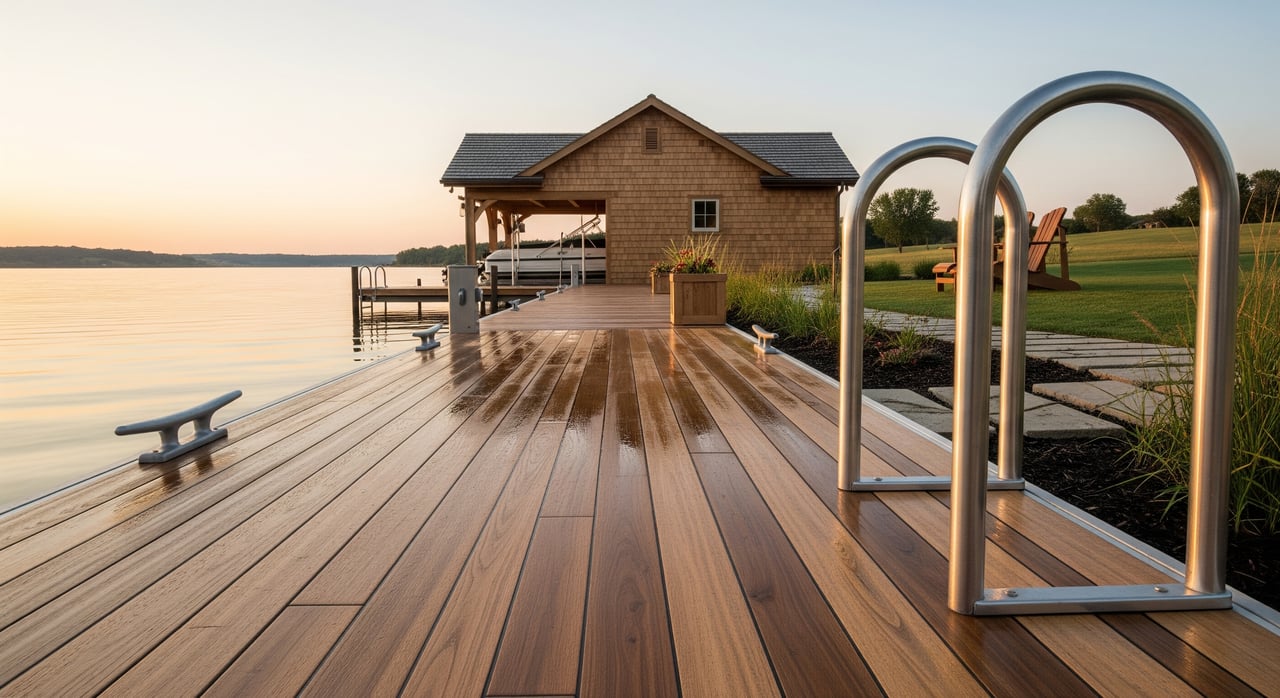
Thinking about installing or updating a dock on Lake Mitchell? You are not alone. Waterfront living is a dream, but the rules around docks, lifts, and buoys can feel confusing. A clear plan helps you enjoy the lake while staying compliant, avoiding neighbor disputes, and protecting public access. This guide walks you through who regulates docks, what typical standards look like, how permitting works, and the steps to take before you buy materials or hire a contractor. Let’s dive in.
Who regulates Lake Mitchell docks
Multiple agencies are involved in dock oversight on Lake Mitchell. You will likely interact with more than one depending on your project’s size, location, and construction method.
- South Dakota Game, Fish & Parks (SDGFP) manages recreation on public waters and enforces rules that protect navigation and public use.
- Davison County Planning & Zoning and the Davison County Commission set shoreland and zoning rules, including setbacks and standards.
- City of Mitchell ordinances apply if your property is inside city limits, including any public access easements.
- South Dakota codified laws and court decisions define riparian rights and public trust responsibilities.
- U.S. Army Corps of Engineers may require permits if your project involves dredge, fill, or work in federally regulated waters.
- Local surveyors, the county register of deeds, and title companies help confirm property lines, OHWM location, and recorded easements.
Always confirm current requirements with SDGFP and local planning staff before you start work. Rules can differ by location and project type.
Know your shoreline boundary
The ordinary high-water mark (OHWM) is the common legal boundary between private property and the public water. In many cases, land below the OHWM is held in trust for the public. Your deed may include riparian rights, but those rights are not unlimited.
- Placing permanent structures beyond the OHWM often requires approvals.
- Recorded easements or shared access agreements can change what you may install and where.
- Public ramps, beaches, and swim areas must remain clear and usable by everyone.
Because the OHWM can be technical to identify, consider using a licensed surveyor, especially if you plan a permanent or large structure.
Placement basics to stay neighborly
Dock placement is about fitting your use within your shoreline while keeping navigation and public access safe.
- Keep your dock within your legal shoreline frontage and avoid encroaching on a neighbor’s frontage.
- Do not block public ramps, beaches, swim areas, or marked navigation corridors.
- Respect any lateral public access easements along the shoreline. In some zones, private docks may be limited or prohibited.
Clear communication with adjacent owners can prevent disputes, particularly on narrow frontages or areas with multiple nearby docks.
Length, width, and slip limits
Local standards typically set limits on dock length, total width, and the number of slips relative to your frontage. Floating docks and boat lifts may be treated differently from fixed structures.
- Seasonal docks that you remove each year can face different requirements than permanent systems.
- Specific numeric limits are set by local and state rules and can vary by site. Confirm these before you design or purchase a system.
Design your layout to meet the minimum size you need for safe access and boat mooring. Oversized plans are more likely to trigger extra review or require a variance.
Setbacks and safe navigation
Setbacks help reduce conflicts and keep traffic moving safely on the water.
- Expect lateral separation requirements from neighboring docks and minimum distances from channels or centerlines in public waterways.
- Place lifts and mooring points so boats do not swing into navigation paths or neighboring areas.
If a standard setback creates a practical difficulty because of lot shape or shallow water, discuss options with planning staff before you apply. You may need to adjust your layout or seek a variance.
Seasonal vs. permanent structures
Many owners choose seasonal docks for flexibility and simpler approvals. Permanent structures can be appropriate in some locations, but they usually trigger more review.
- Seasonal, removable docks may involve fewer steps but still can require notification or permits.
- Permanent docks, pilings, dredging, or shoreline excavation almost always require permits and may involve the U.S. Army Corps of Engineers.
Whatever you choose, use materials and methods that minimize shoreline erosion and protect aquatic habitat.
Materials and environmental protection
Most regulations aim to safeguard water quality, habitat, and shorelines.
- Use non-toxic materials designed for marine environments.
- Limit vegetation removal and avoid disturbing sediments during installation.
- Plan for erosion controls during construction and when water levels or weather create high-erosion conditions.
Document your protection measures in your application. It shows good faith and can speed up review.
Permits and how to apply
Docks and lifts often require approvals from one or more agencies. Start early and build time into your plan.
Typical application items include:
- A site plan with property lines, OHWM, dock footprint, distances to neighbors and channels, and water depths.
- Proof of property ownership or written authorization from the riparian owner.
- Construction details including materials, anchoring, floatation, and pile types if applicable.
- Environmental information if you propose dredging, fill, or work in wetlands.
Fees and timelines vary by agency and project complexity. Expect weeks to months for review, especially if coordination among agencies or public notice is required.
When you need a variance
If your site conditions make standard limits unworkable, a variance or conditional use permit may be available through Davison County or the City of Mitchell.
Decision-makers typically look for:
- A practical difficulty or unique hardship tied to the property, such as shallow water or an unusual lot shape.
- A minimum change that still provides reasonable use.
- No injury to public welfare, navigation, or neighboring properties.
- No substantial harm to environmental or public trust resources.
The usual process includes an application, public notice, a hearing, and a decision by a board or commission. If a variance is denied, you may consider a reduced dock size, a seasonal floating system, or a shared dock solution.
Enforcement and insurance risks
Unauthorized or nonconforming docks can lead to costly setbacks.
- Agencies can issue stop-work orders, civil penalties, or require removal at the owner’s expense.
- Improper placement may spark neighbor complaints or legal action.
- Review your homeowner and umbrella insurance for coverage related to docks, lifts, and guest injuries.
Keeping written approvals and records of compliance helps during future sales and if questions arise later.
Owner checklist: build it right
Follow this practical roadmap before you build or modify a dock:
Confirm your property boundaries and riparian rights. Hire a licensed surveyor and review deeds, plats, and any recorded easements.
Contact SDGFP and Davison County Planning & Zoning. If you are inside city limits, contact the City of Mitchell as well. Ask for current written rules, application forms, and any Lake Mitchell guidance.
Choose your system type. Decide if your dock will be seasonal or permanent, floating or fixed, and whether a boat lift is included.
Draft a site plan. Include photos, water depth notes, distances to neighbors and channels, and the proposed footprint. Consult a dock contractor familiar with Lake Mitchell.
Evaluate if you need a variance. If your plan exceeds standard limits, prepare a variance or conditional use request that explains the hardship, proposes the minimum change, and shows how you will protect navigation and public use.
Document environmental protections. Note erosion controls, vegetation limits, and any dredge or fill elements. Secure all necessary permits before construction.
Keep your records. Save permits, approvals, and correspondence. This protects you during ownership and resale.
Work with a local lakefront team
A well-placed, compliant dock adds value and enjoyment to your Lake Mitchell property. The right plan balances your access needs with safe navigation and public use. Local knowledge makes the process smoother, especially when property lines, OHWM questions, and multi-agency approvals are involved.
If you are planning a dock or evaluating a lakefront listing, our team can help you understand the process, coordinate with local experts, and keep your project on track. Contact a Local Expert at Mitchell Realty LLC to talk through your goals and next steps.
FAQs
Who regulates docks on Lake Mitchell?
- SDGFP, Davison County Planning & Zoning, and the City of Mitchell handle most rules, with the U.S. Army Corps of Engineers involved if dredge, fill, or federally regulated waters are impacted.
What is the ordinary high-water mark (OHWM)?
- The OHWM commonly separates private shoreline property from public water. It guides where private rights end and where approvals are needed for structures.
Do I always need a permit for a seasonal dock?
- Seasonal docks may face fewer steps than permanent systems, but many jurisdictions still require notification or permits. Confirm with SDGFP and local planning.
How close can my dock be to my neighbor’s?
- Setback distances vary by local standards. Expect a required lateral separation to protect navigation and reduce conflicts. Verify exact measurements before building.
What if shallow water makes standard limits unworkable?
- You may apply for a variance or conditional use permit. You will need to show a property-specific hardship, propose the minimum change, and protect public interests.
What are the penalties for noncompliance?
- Agencies can issue stop-work orders, fines, and require removal of non-permitted structures. Neighbor disputes and liability risks may also arise.